Linear infrastructure designed
1,376kmHighway design
543kmRailway design
Lines drawn to scale against each other.

NEPC takes India's critical infrastructure from feasibility and DPR to execution, and surveys and digitally twins it along the way: highways, bridges, rail, airports, cities and catchments. Since 2006, across 20+ states.
Helicopter, fixed-wing VTOL drone, road vehicle or tripod — our sensors fire hundreds of thousands of laser pulses a second and log the exact X, Y and Z of every return.
Raw returns are strip-aligned, georeferenced to ground control and filtered for noise. Intensity reveals what the eye can't: paint lines, roof materials, wet ground.
Classification separates ground from buildings, vegetation, water and roads — the foundation for every model and measurement that follows.
Strip away the city and the canopy and you get the bare-earth terrain. LiDAR sees through vegetation to produce DTM, DSM and contours at centimetre-level accuracy.
Building footprints are vectorised and extruded into CityGML models from LOD1 blocks to LOD4 interiors — ready for GIS and BIM platforms.
Explore levels of detailOblique imagery is draped over the geometry to build a photo-realistic engineering model: facades, rooftops, trees, water and streets as they stand today. Keep scrolling to sweep the scan across the city.
Run floods, wind, sun and traffic through the twin before a single crore is spent on the ground.
Every highway, bridge and city we design begins as millions of measured points.
Launched 2 October 2006
Nektor Engineers & Project Consultants is a specialty engineering consultancy from Ahmedabad. Our creators, thinkers and doers design critical infrastructure that is safe, sustainable and built to outlast us.
We are guided by Dr. APJ Abdul Kalam's philosophy, and our work is aligned with the United Nations Sustainable Development Goals.
Our storyThe eligibility behind every bid: delivered work across transport, mapping, prestress engineering and critical infrastructure.
Lines drawn to scale against each other.
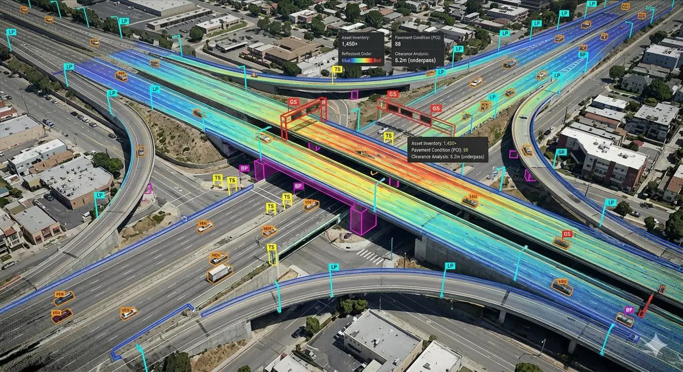
Including specialised bridges, from concept to detailed drawings.
Each square is 100 km².
We start where a project starts: the feasibility study. Then the detailed project report, clearances and tender, and we stay on as design consultant until it is built.
Feasibility & DPR servicesOptions, alignments, demand and preliminary cost.
LiDAR, topographic, hydrographic and traffic surveys.
Design, drawings, BOQ and cost estimates.
Forest, wildlife and environmental impact.
Construction drawings and tender support.
Design support on site until handover.
Some of the toughest survey terrain on earth: high Himalayan passes, remote valleys and island coastlines, captured by our own aircraft and crews.
Ladakh & Himachal Pradesh
Airborne LiDAR along the Leh–Manali highway, flying over all five high passes between Manali and Leh, at altitudes above 5,000 m.
Himachal Pradesh
Mapped across Lahaul and Spiti, including some of the highest inhabited villages in the world.
Andaman & Nicobar Islands
Mapped the entire island of Port Blair, from the coastline and harbour to the hills.
From the first survey peg to the final structural audit, every discipline a critical project needs sits under one roof.
LiDAR, network survey vehicles, hydrography, GPR and large-scale mapping.
Feasibility studies, detailed project reports, clearances and support through execution.
LiDAR, nadir, oblique, multispectral and thermal capture from the air.
GIS-based master plans, town planning schemes and local area plans.
Data capture, imagery processing, DEM/DSM/DTM and thematic mapping.
NDT, sensor-based monitoring, structural audit and rehabilitation.
NEPC's 3D data acquisition hub owns and operates the sensors, so schedules and data quality stay in our hands.
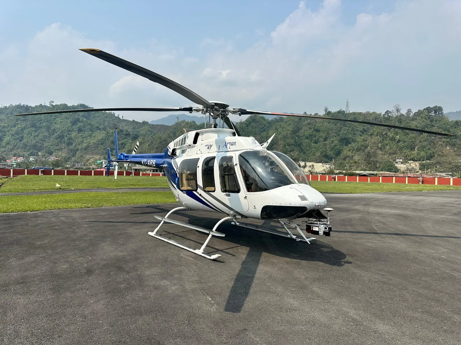
Integrated hybrid sensor: LiDAR, optical and GNSS on a helicopter platform.
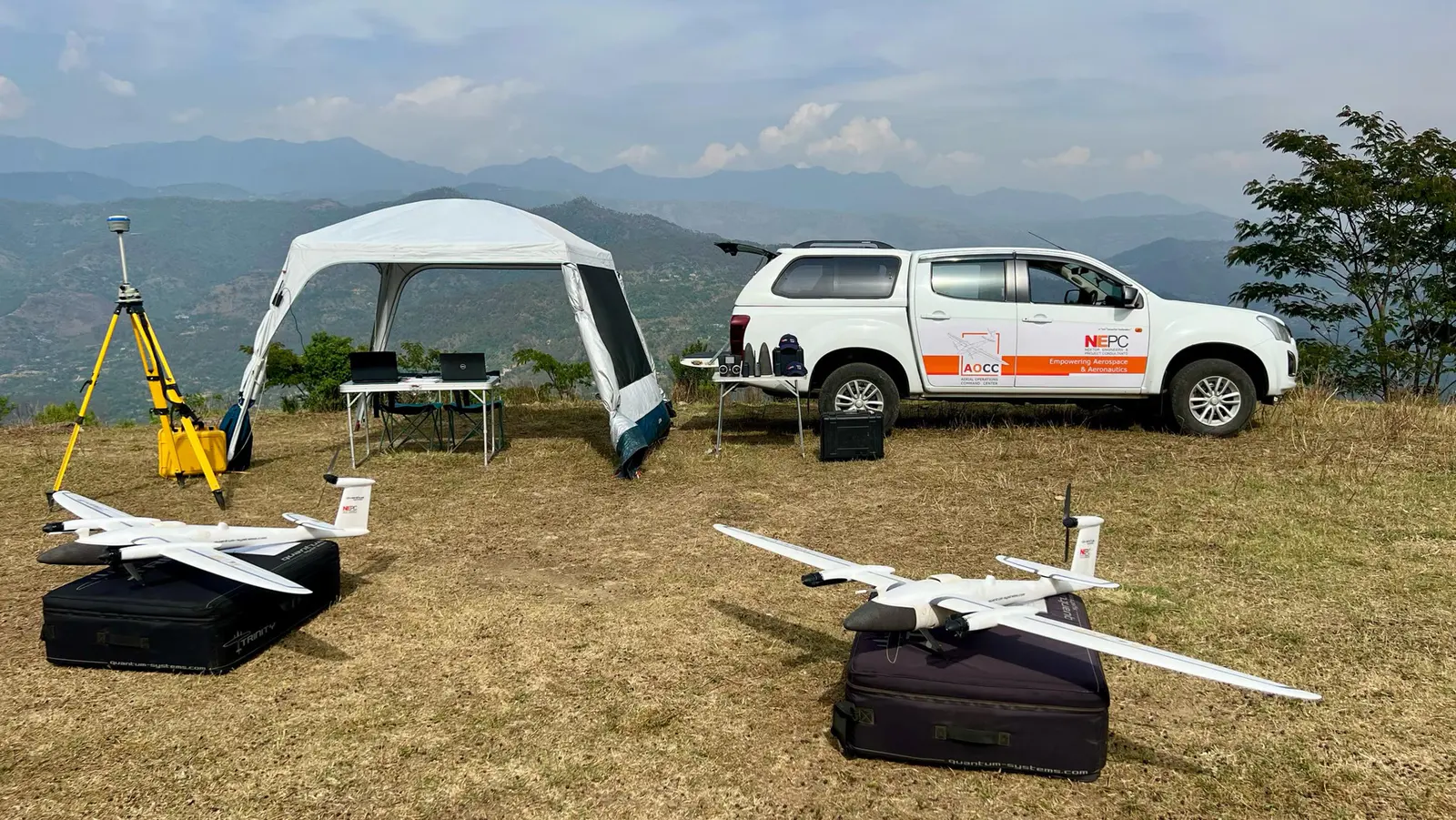
Medium-altitude, medium-endurance mapping with BVLOS capability.
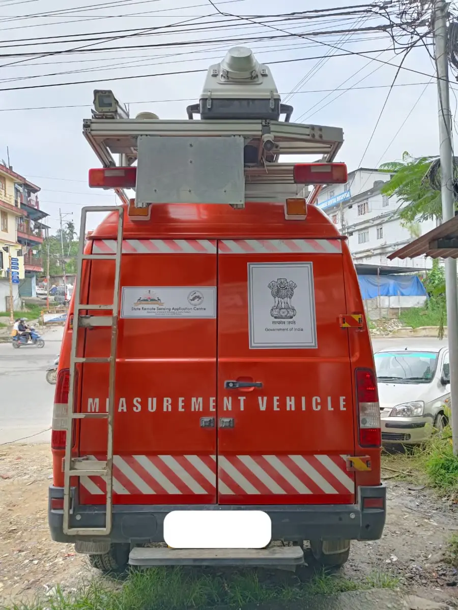
Mobile LiDAR units that audit road roughness and condition for state governments.
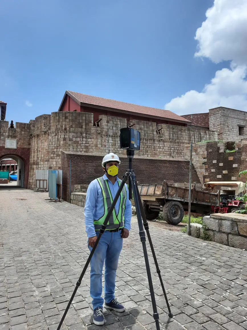
As-built and heritage documentation down to millimetre detail.
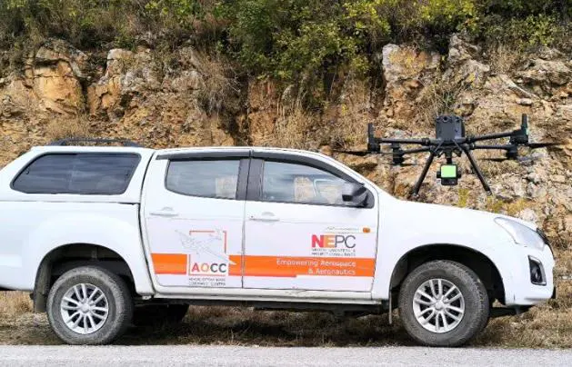
Multirotor UAVs with LiDAR, optical and thermal payloads.
Highways, rail, metro, ports, airports
Flood, landslide and evacuation planning
Solar potential, wind siting, corridors
Containments, terminals, launch pads
Canals, dams, watershed analysis
Design, detailing, BOQ and DPR
Tanks, silos and process structures
Payload frames and launch pad structures
Canopy, biomass and clearance mapping
Campus planning and facility design
Gas terminals and pipeline routes
Fibre cable route design and networks
Heat islands, microclimate, EIA
Prestressed factories and plants
Master plans and city digital twins
Terrain intelligence and blast simulation
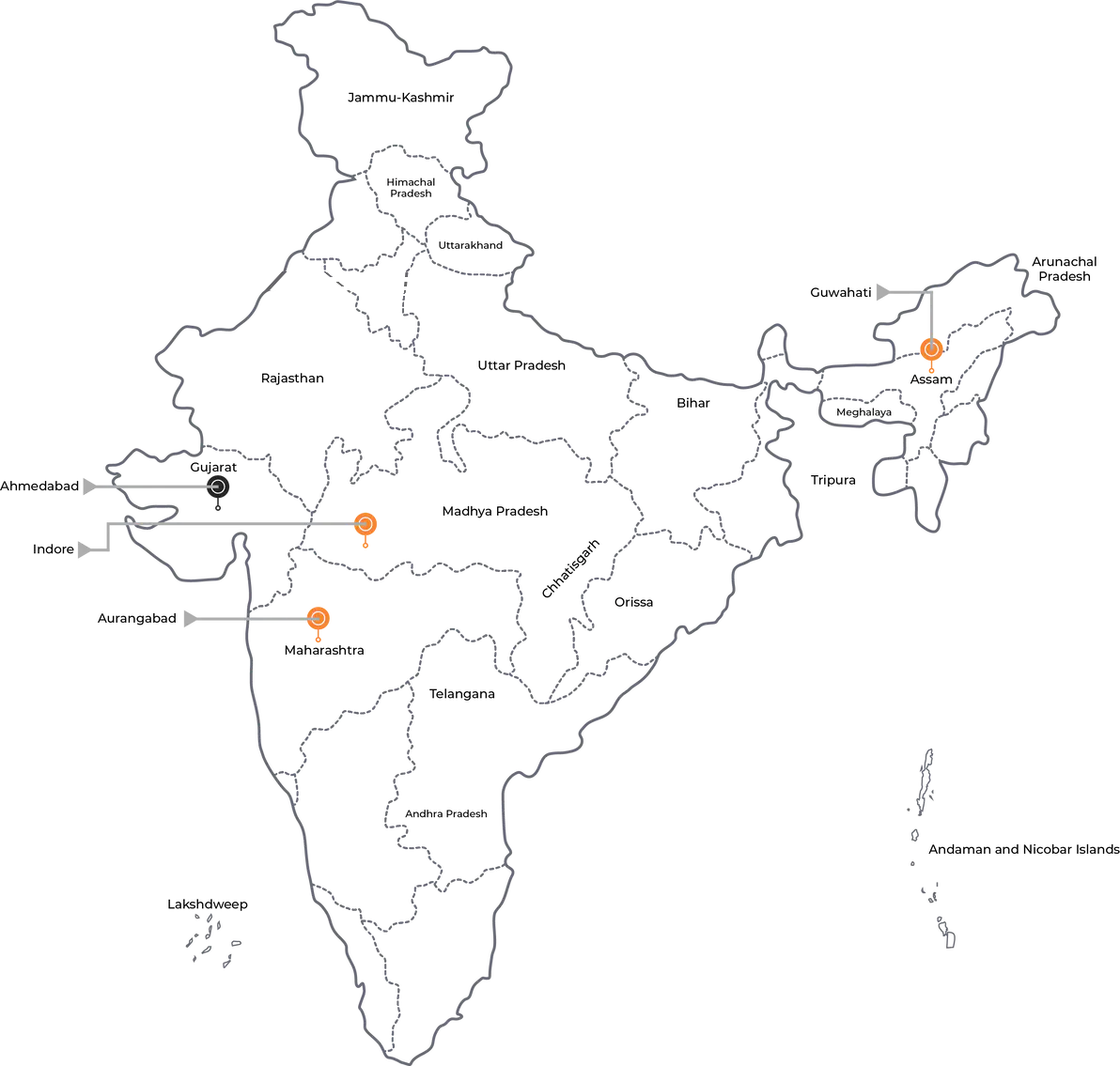
From roads, railways and ports to space and atomic energy.