Linear infrastructure designed
1,376kmHighway design
543kmRailway design
Lines drawn to scale against each other.

Proven expertise since 2006 — 600+ projects for central ministries, state governments and agencies across more than 20 states.
Delivered volumes that qualify us for India's largest infrastructure programmes.
Lines drawn to scale against each other.

Including specialised bridges, from concept to detailed drawings.
Each square is 100 km².
High Himalayan passes, remote valleys and island coastlines, captured by our own aircraft and crews.
Ladakh & Himachal Pradesh
Airborne LiDAR along the Leh–Manali highway, flying over all five high passes between Manali and Leh, at altitudes above 5,000 m.
Himachal Pradesh
Mapped across Lahaul and Spiti, including some of the highest inhabited villages in the world.
Andaman & Nicobar Islands
Mapped the entire island of Port Blair, from the coastline and harbour to the hills.
Typical scopes across our portfolio.
Highways and rural roads: feasibility studies and assessment surveys.
Design of specialised bridges, including prestressed and long-span structures.
Feasibility studies and final location surveys.
R&D and concept feasibility for launch and payload structures.
Ports, harbours, jetties and inland water transport.
Fibre cable route design and networking.
Data capturing and data analysis.
GIS-based master plans, local area plans and town planning schemes.
Airborne LiDAR and multispectral capture and analysis.
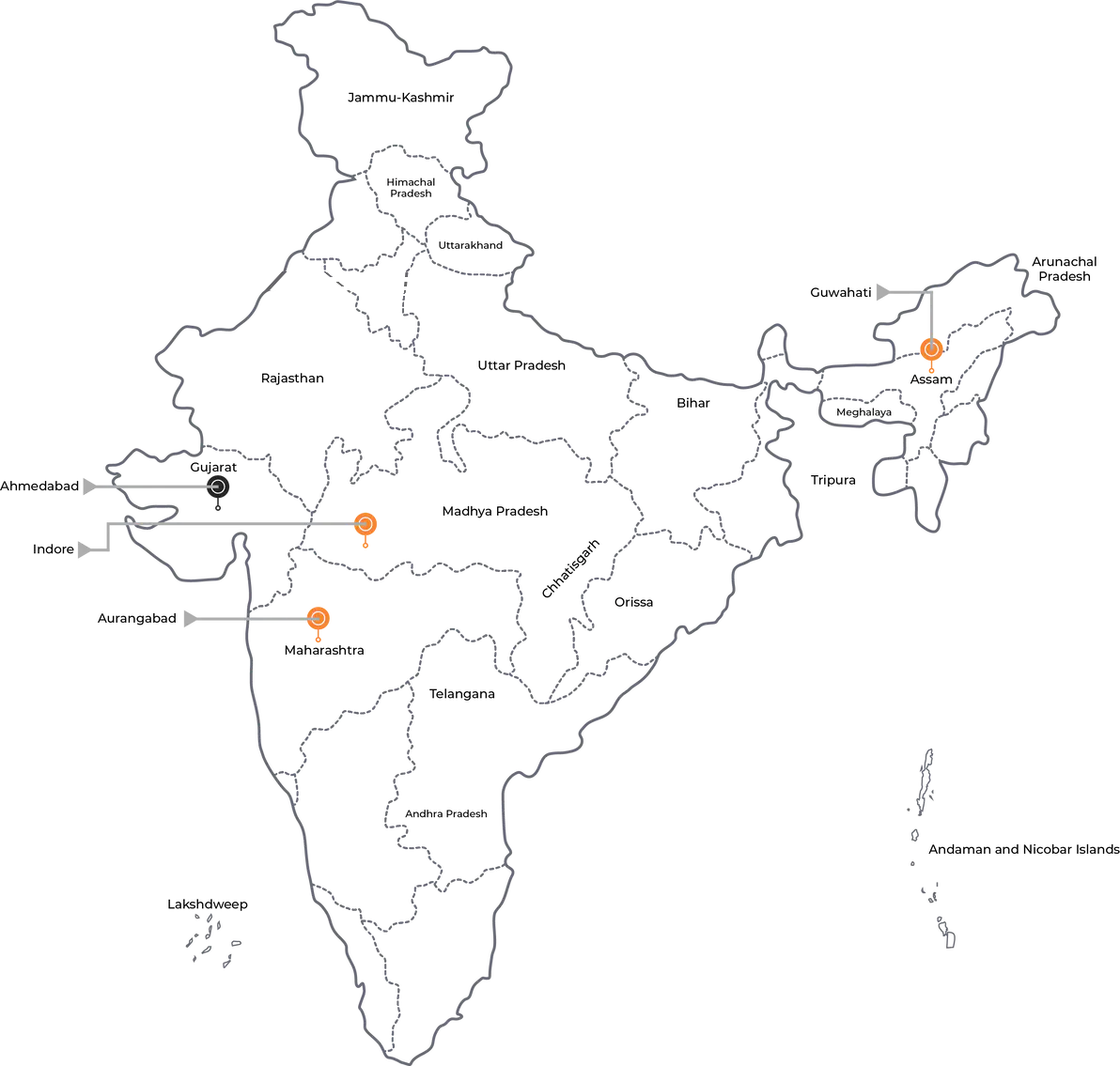
Ongoing and completed work, from the Andaman & Nicobar Islands to Ladakh.
The ministries and departments that trust us with work of national importance.






Collaboration, advanced technology and partnership — for an enhanced Digital India.
Partner with NEPC