
Our presence across sixteen sectors.
Wherever something critical is being planned, built or protected — roads, rivers, launch pads, cities — our survey and design data is underneath it.
Transportation
We plan, design and deliver systems that move people, goods and services — safe, adequate and sustainable networks that serve communities, drive economic growth and raise quality of life.
See transport track record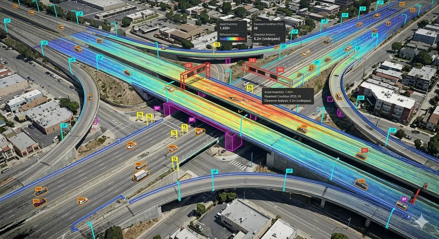
Land surface transport
Highways, railways, metro rail, bridge design
Air transport
Airports, runways, aeronautical surveys and charts
Water transport
Ports, jetties and storage terminal design
Space
Payload frames and launch pad structure design
Landslide mitigation
Slope stabilisation and protection measures
Tunnels
Tunnel design and alignment
Water aerodromes
Seaplane infrastructure planning and design
Road condition audit
Network survey vehicles for roughness and condition
Irrigation
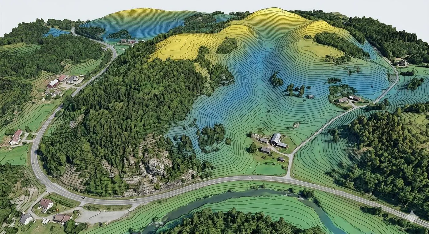
Irrigation design starts from project need and feasibility. Hydraulic analysis estimates flow, pressure and system behaviour; dams, canals and reservoirs get rigorous structural design.
We assess environmental impacts on ecosystems, water quality and downstream users before anything is built.
Bathymetry survey
Riverbed and reservoir depth mapping
Drainage studies
Rainfall, catchment, command area, terrain
Canal alignment & profile
Route and longitudinal section design
Hydraulic design of canals
Flow, section and structure sizing
Design of structures
Dams, bridges, falls and regulators
Watershed & springshed
Analysis for recharge and supply
Every sector we serve.
How our survey, design and geospatial work supports each one.
Transportation
Highways, rail, metro, ports, airports and space infrastructure
Disaster relief & management
Flood inundation, landslide mitigation, evacuation planning
Renewable energy
Rooftop solar potential, wind siting, transmission corridors
Critical infrastructure
Containments, gas terminals, launch pads, tunnels
Irrigation
Canals, dams, drainage and watershed analysis
Construction & engineering
Structural design, detailing, BOQ and DPRs
Chemical
Shell structures: silos, chimneys and tanks
Aerospace
Payload frames and spacecraft launch pad design
Forestry
Forest survey, canopy mapping, wildlife clearance
Healthcare & life science
Site survey, campus planning and facility design
Oil & gas
Gas terminals, cryogenic containments, route surveys
Telecom
Fibre cable route design and networking
Climate & sustainability
Microclimate, heat island modelling and EIA
Manufacturing
Prestressed factories and industrial structures
Urban development & smart city
GIS master plans, town planning, city twins
Defence & security
Terrain intelligence and blast wave simulation
Working in a sector not listed here?
If it sits on terrain or carries load, we can probably survey, design or twin it.
Talk to an engineer