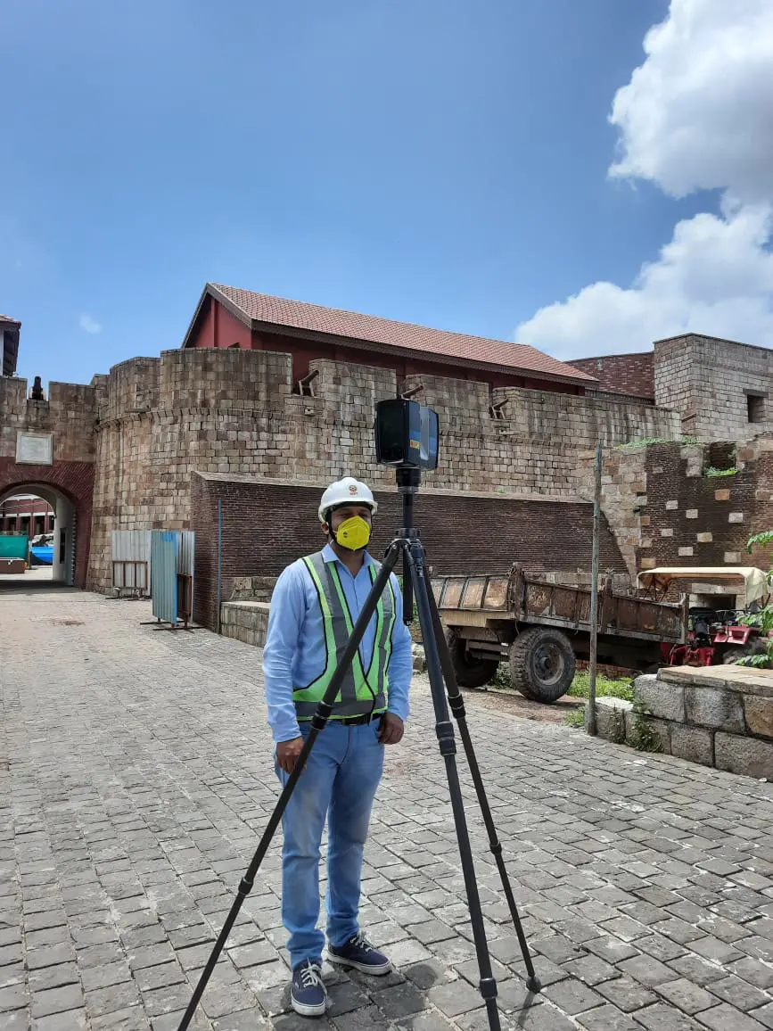
Specialty advance surveying
Spatial tools that capture the exact layout of land and water. Our teams work for government agencies, construction companies and survey agencies across India.

Six specialist disciplines and a full project-services desk, so a corridor, a bridge or a city plan moves from survey to sign-off with one team.
Spatial tools that capture the exact layout of land and water. Our teams work for government agencies, construction companies and survey agencies across India.
We take infrastructure from the first feasibility study to a detailed project report, through clearances and tender, and support it until it is built.
Feasibility & DPR services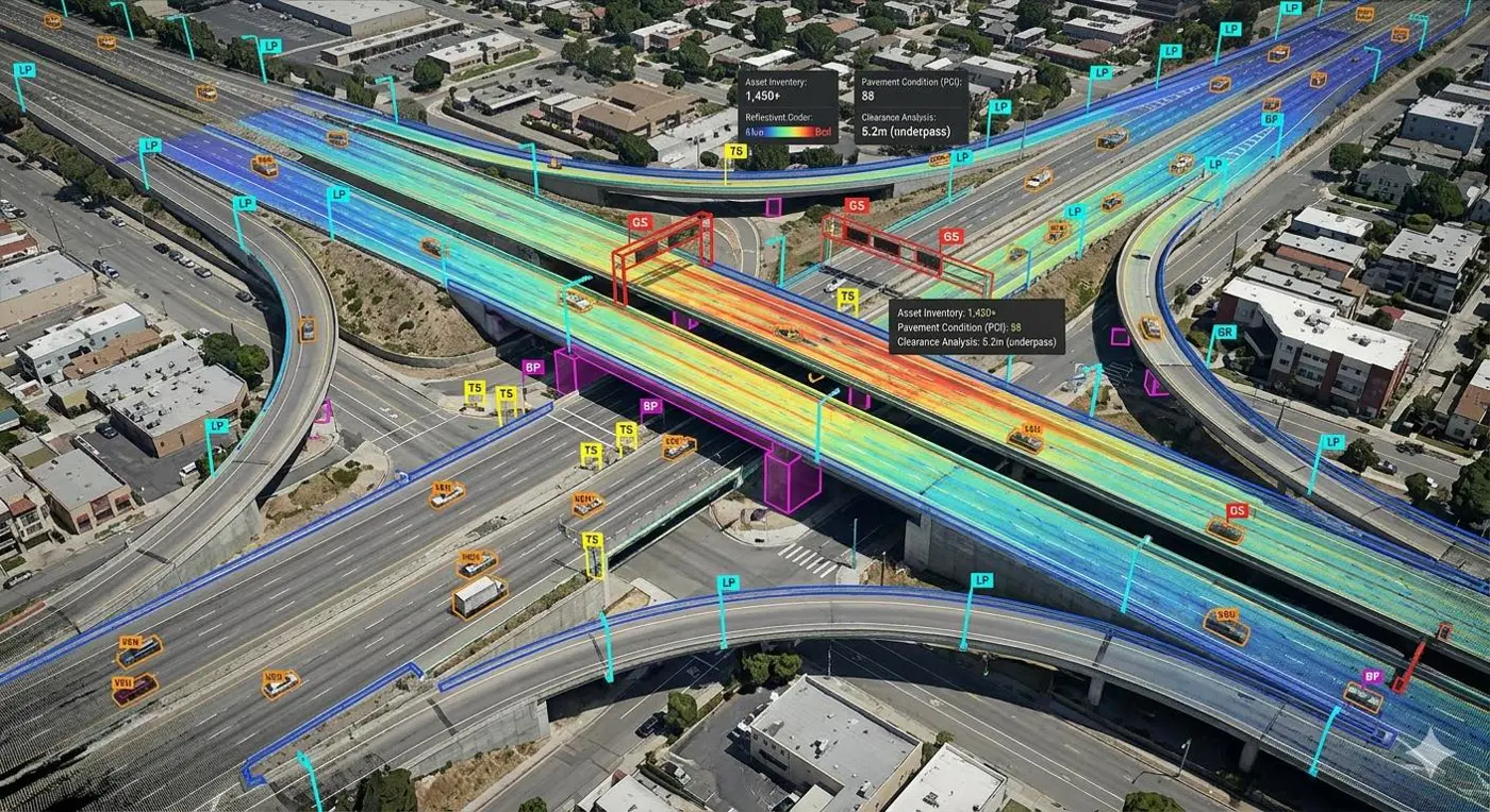
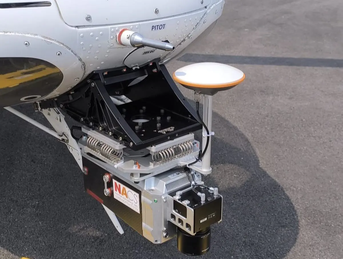
High-resolution imagery and 3D data for planning, design, monitoring and environmental assessment — cost-effective, safe, and able to reach places crews can't.
Photogrammetry pulls accurate extents and 3D data from photographs for topographic mapping, 3D modelling, asset inventories and construction monitoring.
Engineering, architectural and urban design principles combined to create sensible, workable and beautiful cities, towns and communities — with sustainability at the centre.
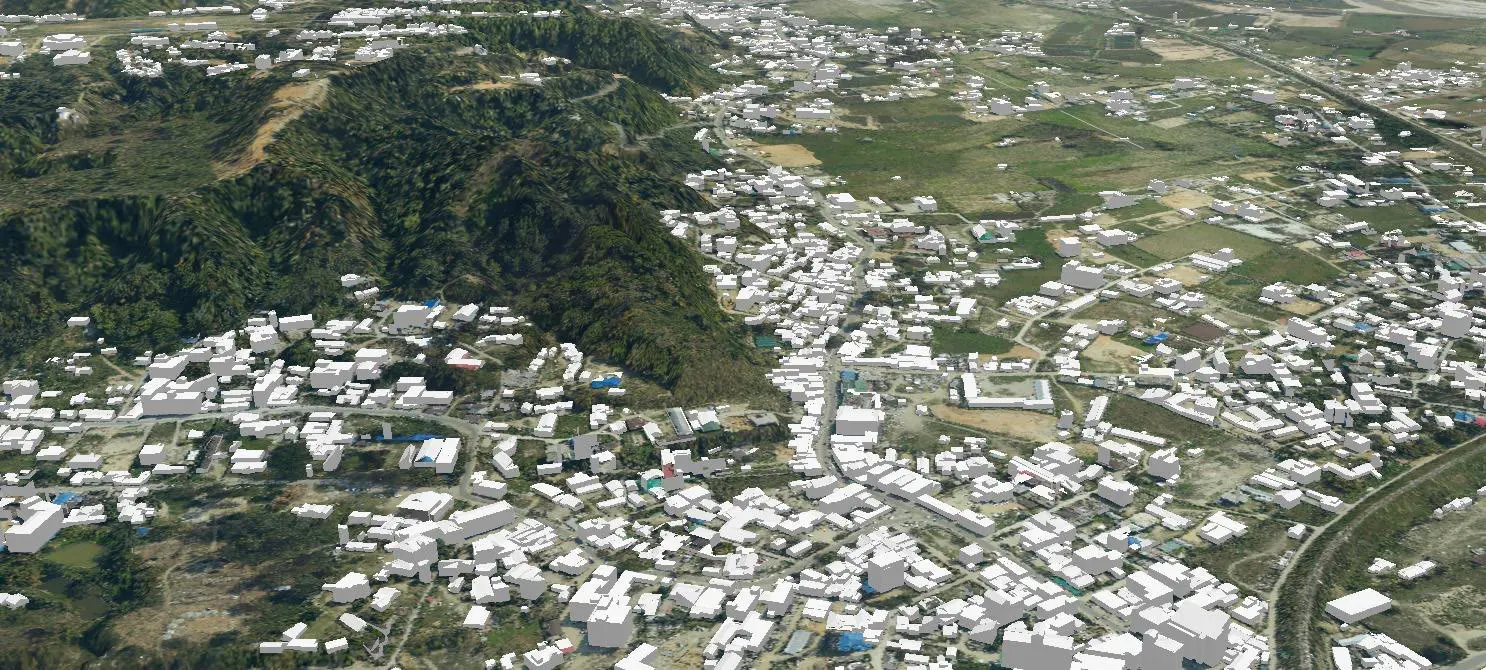
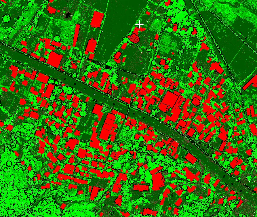
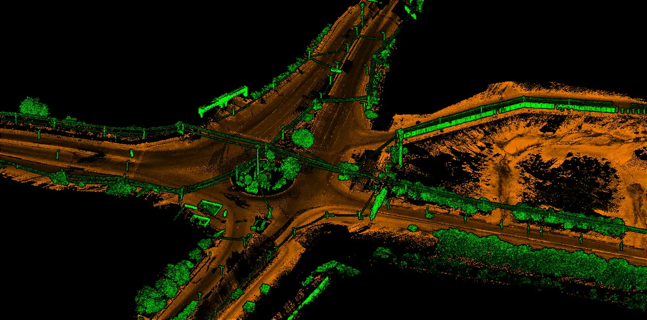
GIS to capture, analyse, manage and present geographic data — traffic, project siting, environmental impact. Remote sensing to gather it without touching the ground.
We assess the condition, performance and integrity of structures to keep them safe, secure and long-lived — and give owners the evidence for retrofit, maintenance and asset decisions.
The processes that carry a project from first study to approvals and construction drawings.
See feasibility & DPR servicesApplications that make your project shine — each run by our own crews.
Share your scope and we'll put the right specialists on it.
Start a project