
Home / Fleet

NEPC's premier 3D data acquisition hub.

We own and fly the sensors — from helicopter to tripod — so we control the schedule, the safety and the quality of every point.

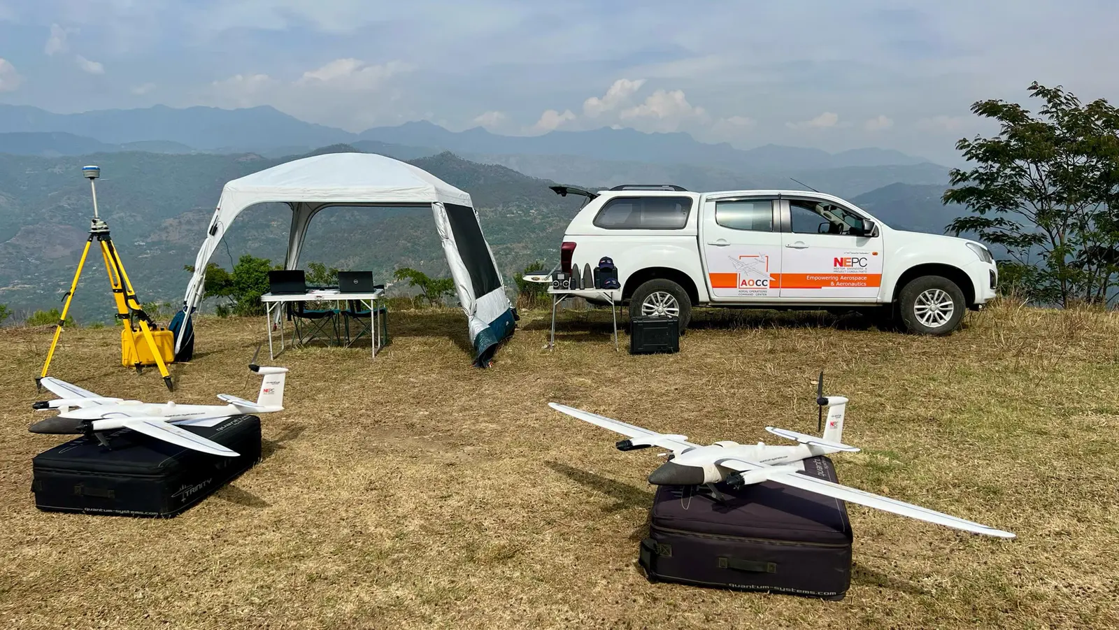
Two fixed-wing VTOL drones at a mountain field camp
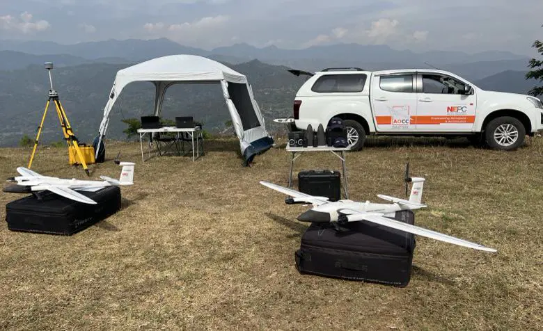
VTOL drone ready for launch beside a survey vehicle
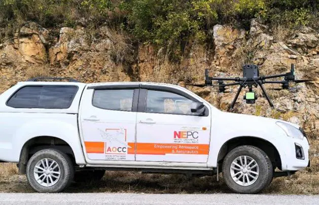
NEPC field pickup carrying a multirotor drone

Fixed-wing VTOL

Unmanned airborne large-scale mapping

Vertical take-off with fixed-wing endurance. Medium-altitude, medium-endurance aircraft with beyond-visual-line-of-sight (BVLOS) capability, for long corridors and remote terrain.

  • Medium altitude, medium endurance
  • BVLOS capability
  • No runway needed
  • Rapid field deployment
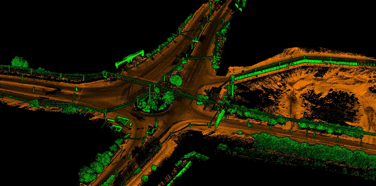
Coloured mobile LiDAR point cloud of a road junction
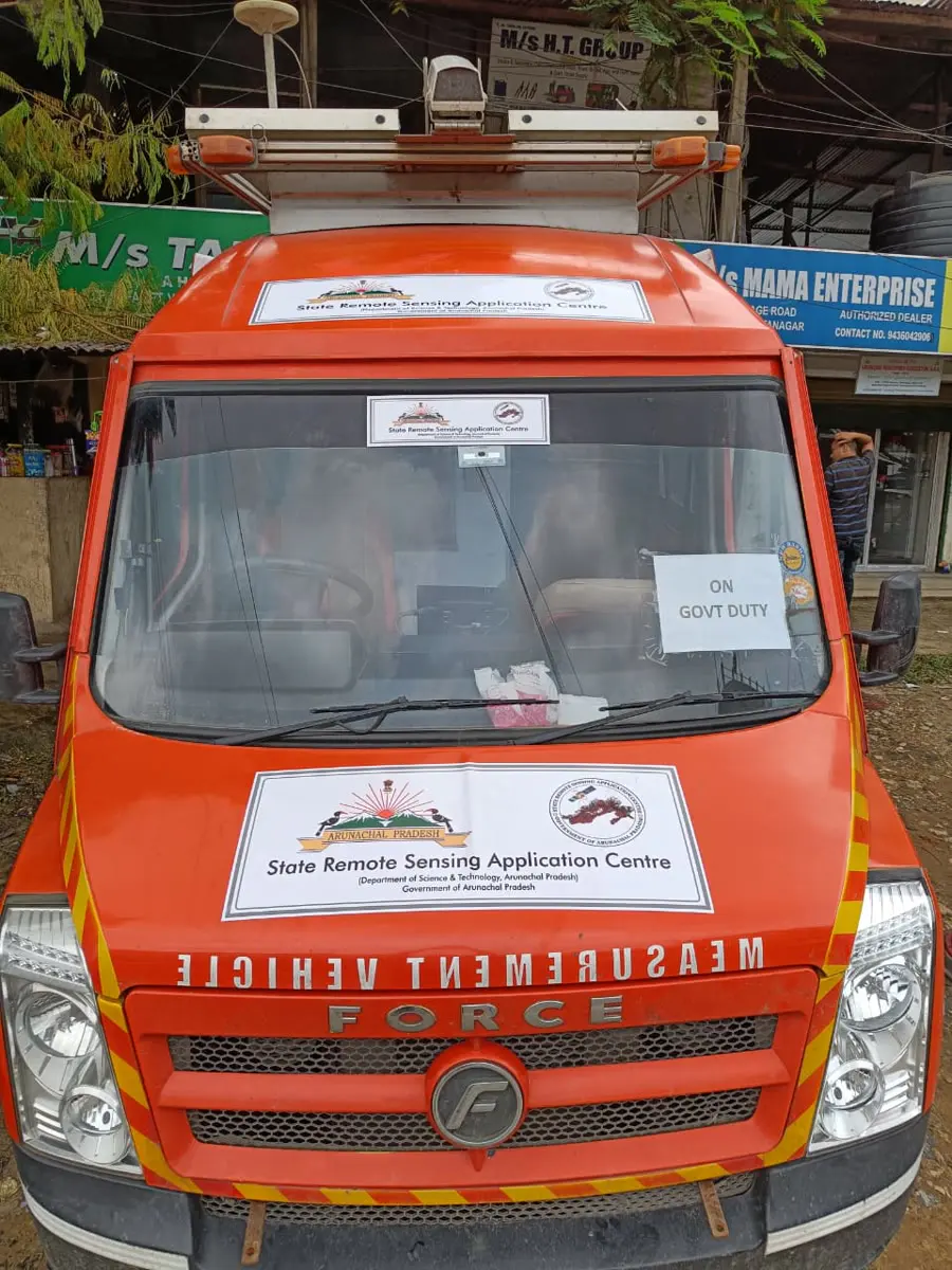
Orange network survey vehicle, front view
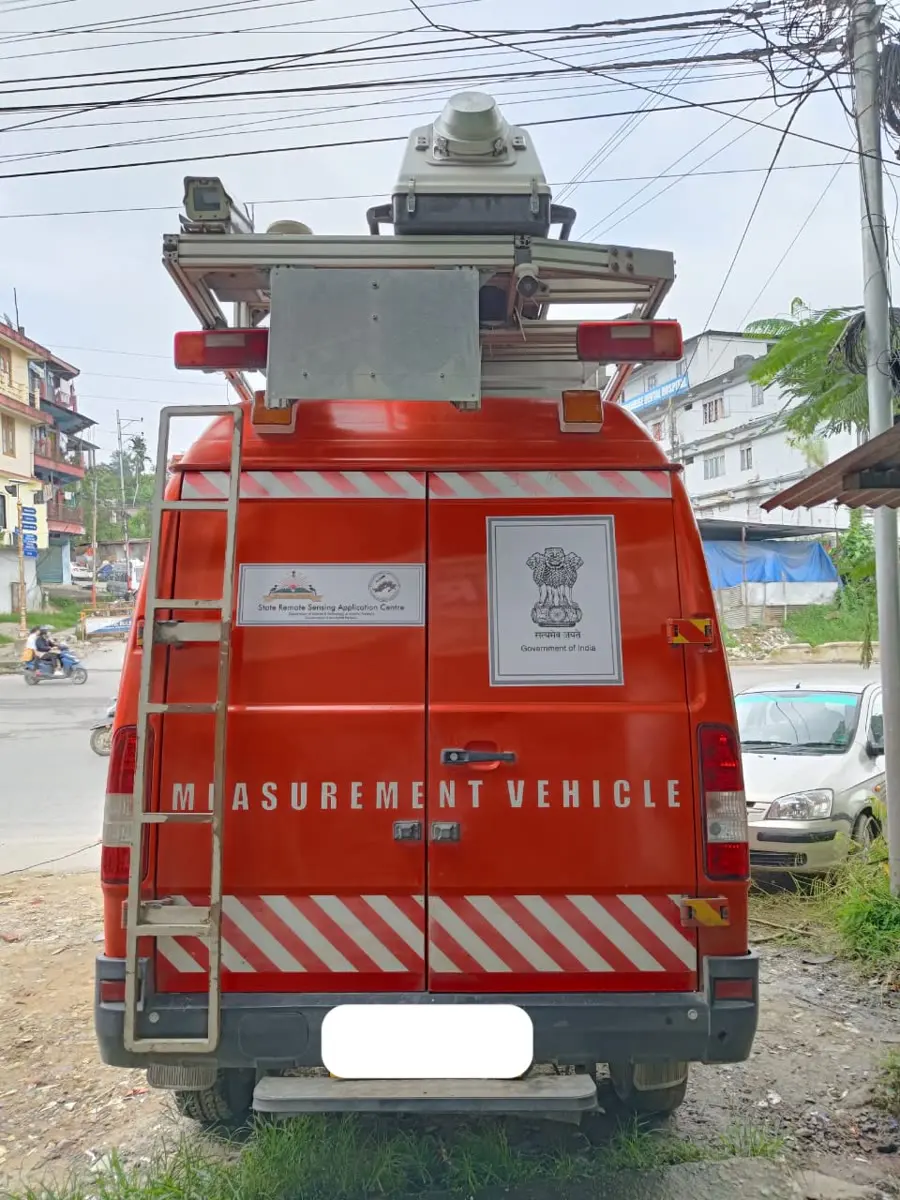
Network survey vehicle with roof-mounted sensors, rear view

Network survey vehicles

Mobile mapping units

Road network survey vehicles deployed to state government bodies. Mounted LiDAR and sonar sensors audit road roughness and condition at traffic speed and return a scanned 3D point cloud of the whole corridor.

  • Road roughness & condition audit
  • Mounted LiDAR & sonar
  • 3D point cloud datasets
  • Asset inventory
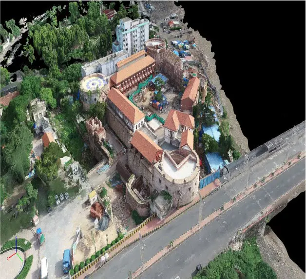
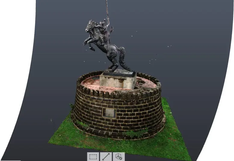
Photo-realistic engineering model of a heritage site
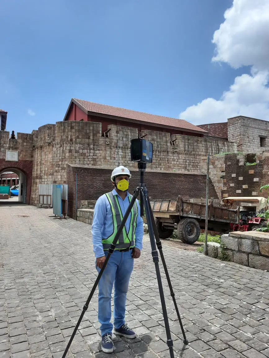
Surveyor with a terrestrial 360° LiDAR scanner
As-built 3D model of a heritage monument

360° LiDAR scanners

Archaeology & heritage mapping

Terrestrial 360° scanning captures as-built geometry down to carved detail. We turn it into photo-realistic engineering models for conservation, restoration and documentation.

  • Terrestrial 360° LiDAR
  • As-built heritage models
  • Photo-realistic engineering models
  • BIM-ready outputs
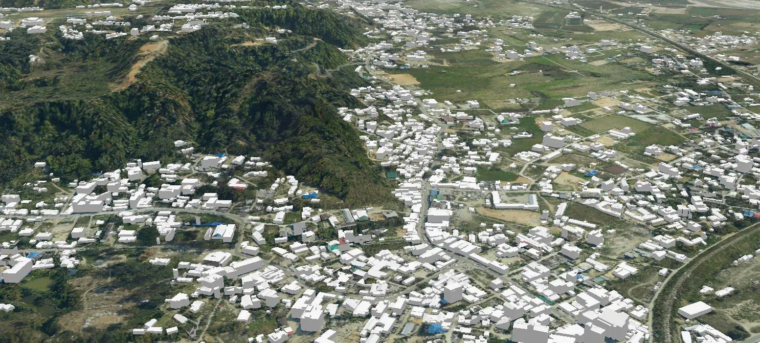
LOD2 city model produced from UAV and airborne data

UAV payloads

Unmanned aerial mapping

Multirotor drones with interchangeable payloads for site-scale work: LiDAR, high-resolution optical, multispectral and thermal. Ideal for construction progress, inspections and dense urban blocks.

  • LiDAR payload
  • Optical & oblique
  • Multispectral
  • Thermal

Need eyes in the sky next month?

Tell us the area and terrain. We'll match the platform and send a flight plan.

Book a survey